The work described here supports cities adopting the Urban Biodiversity Inventory Framework. The original UBIF and this implementation project were supported by the Urban Sustainability Director's Network, the Summit Foundation, the Presidio Trust, and the seed fund.
Nine cities and towns across the United States participated in a project to develop tools and processes for collecting urban biodiversity data.
0
This project’s overall goal was to create a comprehensive suite of tools for cities to be able to implement the Urban Biodiversity Inventory Framework (UBIF). The UBIF provides the theoretical rationale for an approach to collecting urban biodiversity. Our current project, Urban Biodiversity Inventories (also known as the UBIF 2), provides cities with a roadmap and the tools needed to build capacity for setting urban biodiversity data collection parameters, collect those data, and then share the data out to decision-makers and the public.
We focused on using iNaturalist and associated tools to do Urban Biodiversity Inventories. There are many, many other tools and other ways to collect these type of data. We chose to focus on iNaturalist because it is the largest and most accessible biodiversity database in the world that allows data collection by anyone for any species, many of the participating cities already use iNaturalist to track biodiversity in their cities, we believe in the power of our communities collecting data, and we wanted to test something new and innovative by bringing more structure to data collection in iNaturalist. Our choice does not mean other means of data collection cannot be used in support of the UBIF. In the future, we look forward to integrating many data sources using some of the tools we developed as part of this project.
Building Community for Data Collection
Nine participating cities and three observing cities came together in 2018-2019 in a community of practice to help shape the tools we developed and learn from each other. The leadership team was led by San Francisco, CA and included Pittsburgh, PA, and St, Louis, MO. We presented tools and held trainings for cities, we learned from each other about political and social issues around the urban biodiversity landscape of all of the cities, and we shared thoughts and ideas on the development of the tools described below. We specifically focused on tools for stakeholder engagement and defined stakeholders for choosing habitat types, choosing species, choosing sites and building support in city leadership as biodiversity experts from local institutions including city agencies, universities, museums, etc.
0
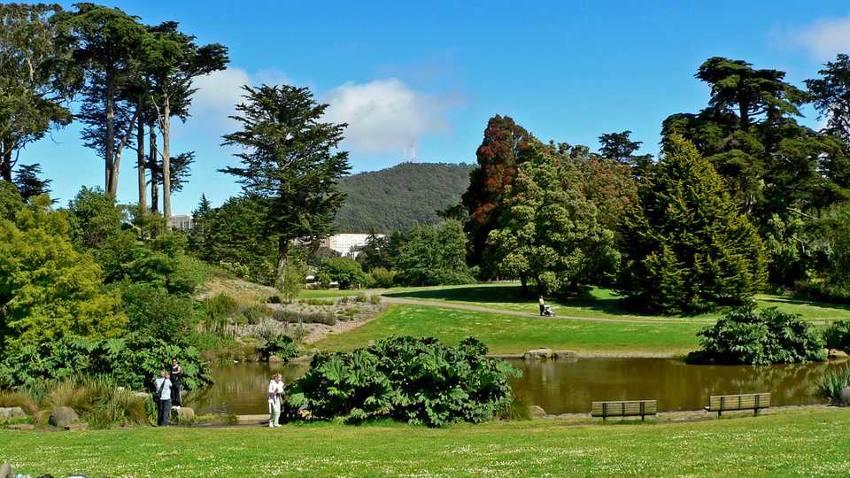
One Picture of Where Species Are Found in Cities
In order to help cities collect more species occurrence data in their cities we shared and customized tools for using iNaturalist, hosting bioblitzes (gathering people together in one place at one time to document as many species as they can using iNaturalist). We also held online trainings for using iNaturalist and finding data on iNaturalist. We also emphasized partnership building across sectors to encourage iNaturalist use. We encouraged cities to participate in the annual City Nature Challenge and gave them additional support to participate.
You can see all of the observations ever made in all of the UBIF cities using iNaturalist below.
0
New Tool for Collecting Presence & Absence Data
Using iNaturalist to record observations of living things tells us that species are found in a place, or present, but it does not help us understand what species are NOT found. In order to record both presence and absence, we developed new functionality on iNaturalist called Trips to do Urban Biodiversity Inventories. Trips is a result of this project. When using Trips, users choose a place to visit, look for certain species or higher taxa in that place and make iNaturalist observations of the species they observe while they are there. Once they return from the field, they set up a Trip in iNaturalist that includes a target species list. The system will record any species they observe from the target list as present and any listed target species they do not observe as absent. Trips allow us to to do UBIF Tier 2 Inventories (Presence and Absence of Surrogate Species in Sites).
0
Citizen Science Data and Socioeconomics
GreenInfo Network built an on-line tool that intersects iNaturalist data with census tract data. This tool shows one type of Tier 1 data, iNaturalist data, in cities. This tool does not claim that iNaturalsit observations are equal to biodiversity in cities. This tool shows citizen science activity using iNaturalist. This tool is a baseline to build on, not a shortcoming of efforts to date and can serve as a way to gauge the results of efforts to build partnerships across cities to collect biodosimetry data. How these data look may change as cities expand how they use iNaturalist but for now, we are looking at iNaturalist user data as social data.
0
Generating Reports
We worked with UbHub to develop tools to visualize the results of Presence/Absence data collection. Once cities enter data parameters into the UBHub site, they can generate reports to share with stakeholders, policy makers, city leaders, and their communities. Cities must login to UBHub to enter data and make reports.
0